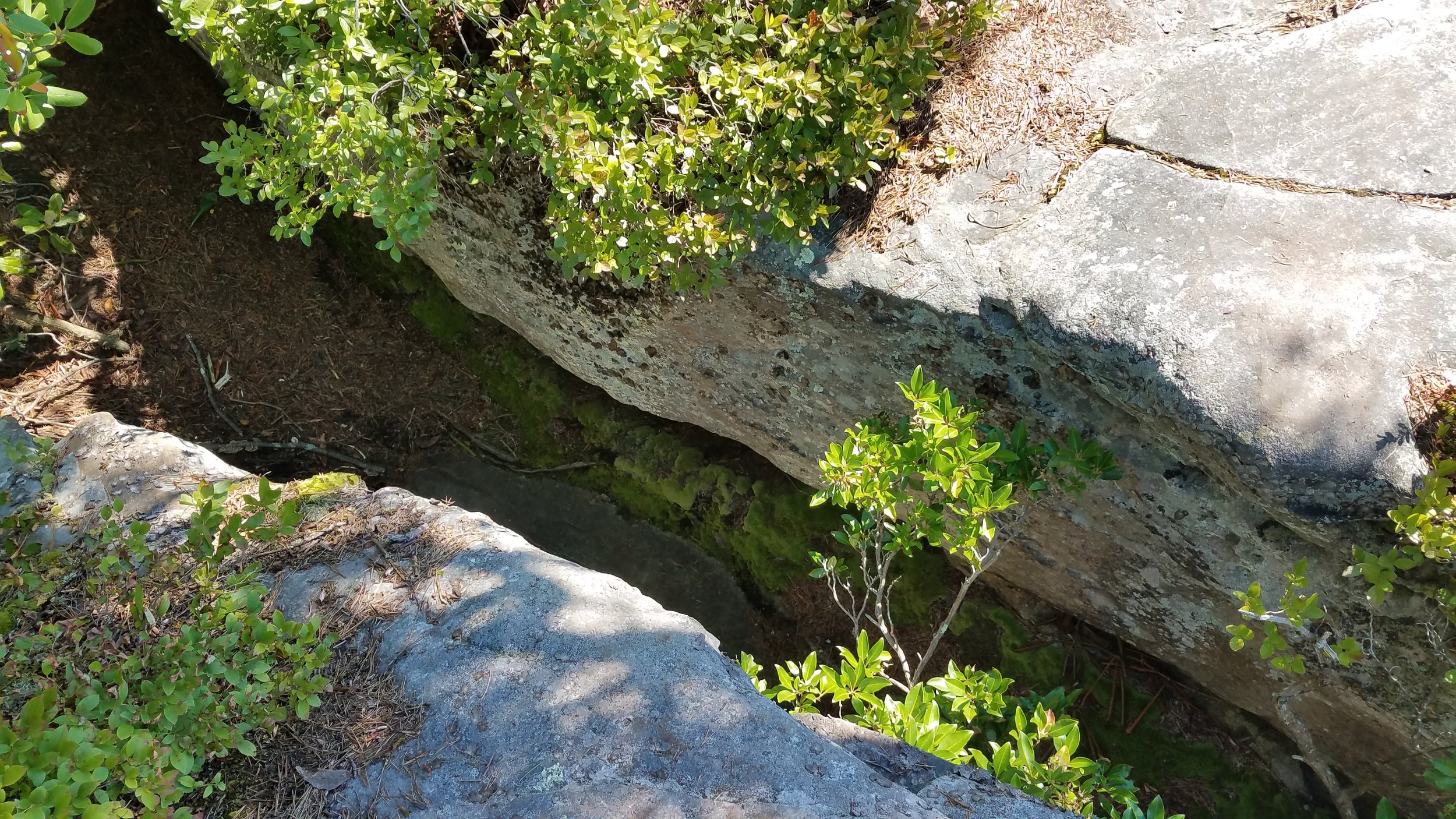

Capturing video and images at the Summersville Lake lookout provided several challenges, beginning with the hike back. A two-mile hike on a relatively easy trail is normally no problem. But my idea was to make it an easy run all the way . And the weight of a drone, three battery packs and a large water bottle stuffed into my backpack made the run more of a challenge than I estimated. In spite of the wonderful weather, it was only a few minutes before I decided to take it slow and enjoy the scenery along the way! Once to the lookout, the next challenge was finding a suitable takeoff and landing zone for the drone. I found an approximately 2’ x 2’ area nestled in between the roots at the base of a tree.
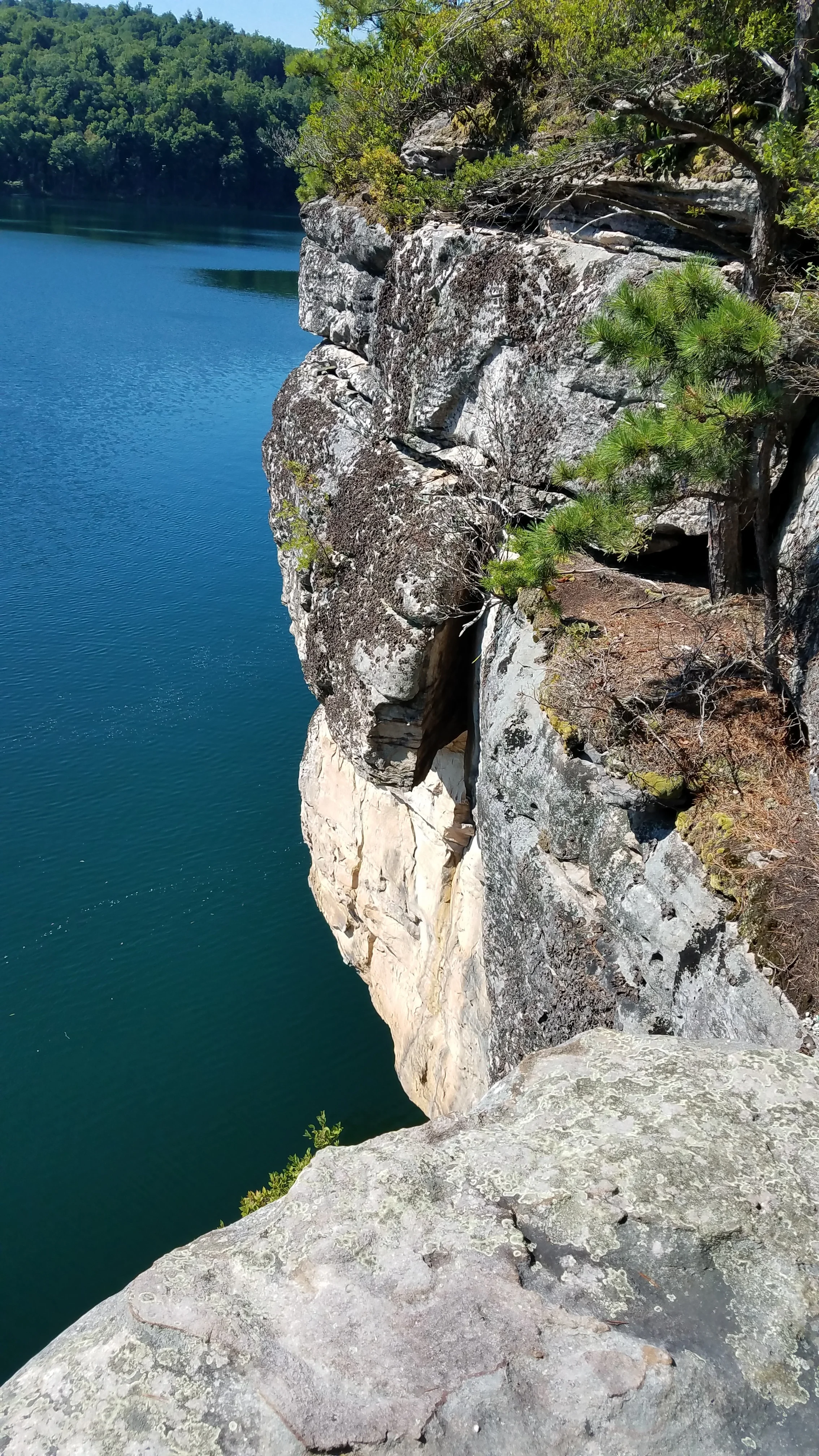
Normally, standing near the edge of a slanted cliff approximately sixty feet above the water wouldn’t pose too much of a problem. But dividing my attention between the drone, the video monitor and maintaining my footing did make it more of a challenge!
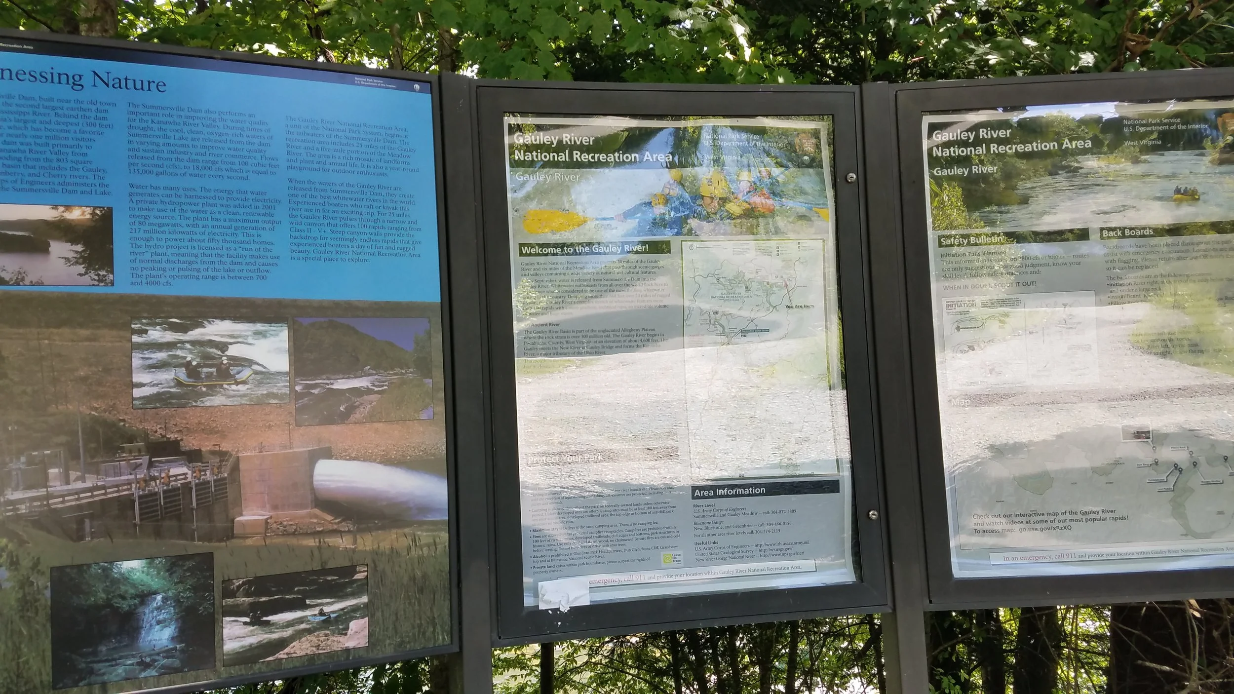
I captured some good video and images, but I wanted more and the wind was starting to come up, so I quit while I was ahead, packed up my drone and made the hike out. I then proceeded over to the dam at the Gauley River for my next shoot.
Same as filming from a cliff tens of feet above the water, flying my drone over rapids down in a valley was also no picnic. But I captured a few minutes of video, attempted some new maneuvers and decided to call it a day.
In the end, I was able to splice together a few minutes of interesting video, but I'll do it again and make an ever better one!